California fire agency’s new tracker monitors aerial fleets
The California Department of Forestry and Fire Protection, tasked with protecting more than 31 million acres of wildlands, on Wednesday launched the Cal Fire Aviation Tracking and Information System, or CATIS, a new aviation management platform designed to help the agency monitor its aerial assets more effectively.
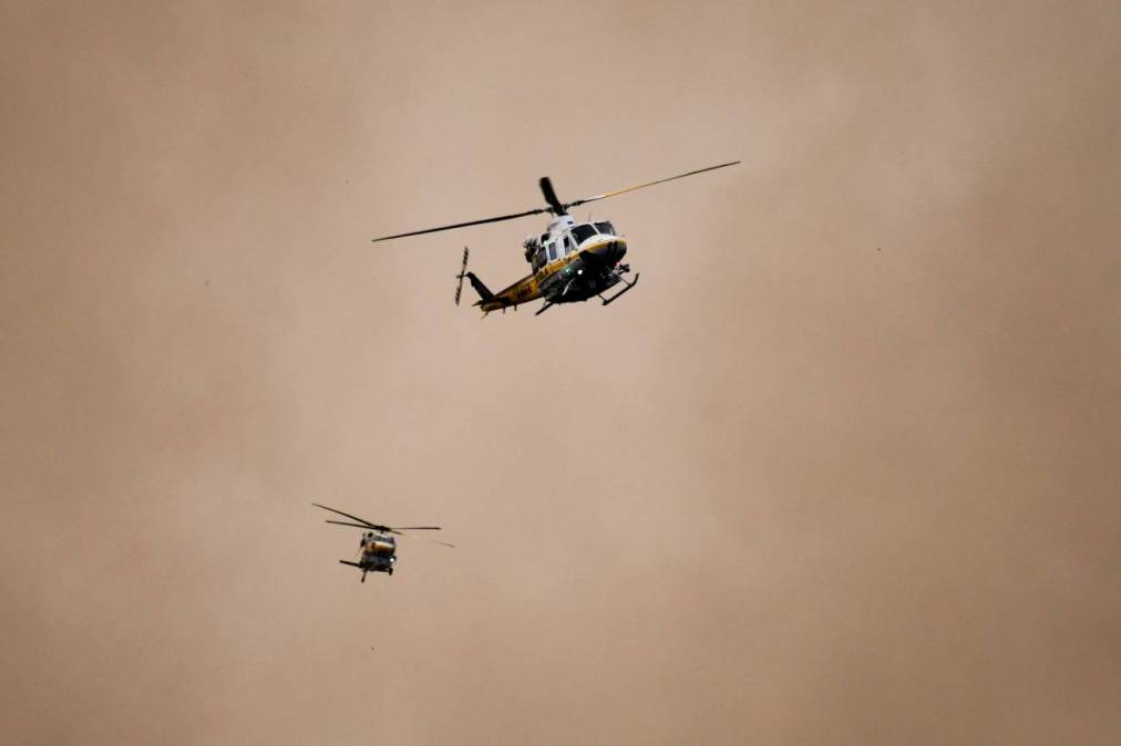
The statewide firefighting agency operates one of the world’s largest aerial firefighting fleets, with more than 60 aircraft, including air tankers, helicopters and tactical airplanes, which each year deliver more than 12 million gallons of retardant and water.
Developed with the New Zealand satellite service firm TracPlus, CATIS provides the agency real-time data on aircraft locations, flight paths and events, like water pickups and drops. The information is securely transmitted to a centralized platform, which displays a comprehensive overview of ongoing operations.
California’s wildfire season is growing longer to due climate change, according to the Western Fire Chiefs Association. Peak fire season typically runs from June through late October.
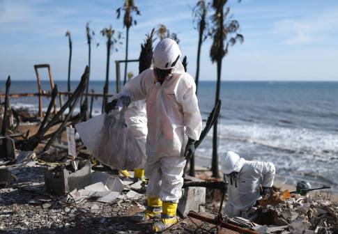
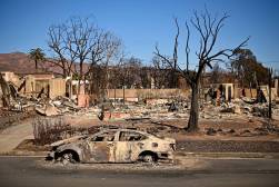
The new platform is one of several initiatives the state has launched since wildfires last January burned more than 57,000 acres across the Los Angeles region.
Earlier this month, a sensor and camera program out of the University of California, San Diego, called ALERTCalifornia, launched a new map layer that allows emergency responders and the public to view the feeds of more than 1,150 high-definition cameras and sensor arrays. The new layer shows each camera’s location, video feed and viewshed, accounting for factors like terrain, obstacles and the observer’s height.
And Gov. Gavin Newsom last February signed an executive order directing the Office of the State Fire Marshal to publish updated fire hazard severity zone maps, areas under local government responsibility that are more prone to wildfires due to natural vegetation, fire history, proximity to wildland, blowing embers, terrain type and yearly weather patterns.